Resource Assessment

2016 UNECE/IGA Geothermal Specifications
UNFC-2009 is the universal format for reporting energy reserves and resources. The geothermal specifications for UNFC-2009 are based on three criteria:
The degree of favourability of the social and economic conditions for establishing a commercially viable project.
The maturity of studies and commitment to implement the project.
The level of confidence in the estimate of the potentially recoverable resource.
The objective of the geothermal specifications is to promote a standardised, globally accepted method of reporting the estimates of geothermal potential. They provide transparency on the assessment of geothermal energy potential and ensure uniformity with specifications applicable to other energy resources, for ease of comparison across projects, countries and different resource types.
Joint IRENA/IGA/ESMAP Geothermal Resource Classification Initiative based on UNFC specifications
The IGA, the World Bank’s Energy Sector Management Assistance Program (ESMAP) and the International Renewable Energy Agency (IRENA) joined forces to work on a project to train stakeholders to the 2016 UNECE/IGA Geothermal Specifications and to pilot their use on geothermal energy resources.

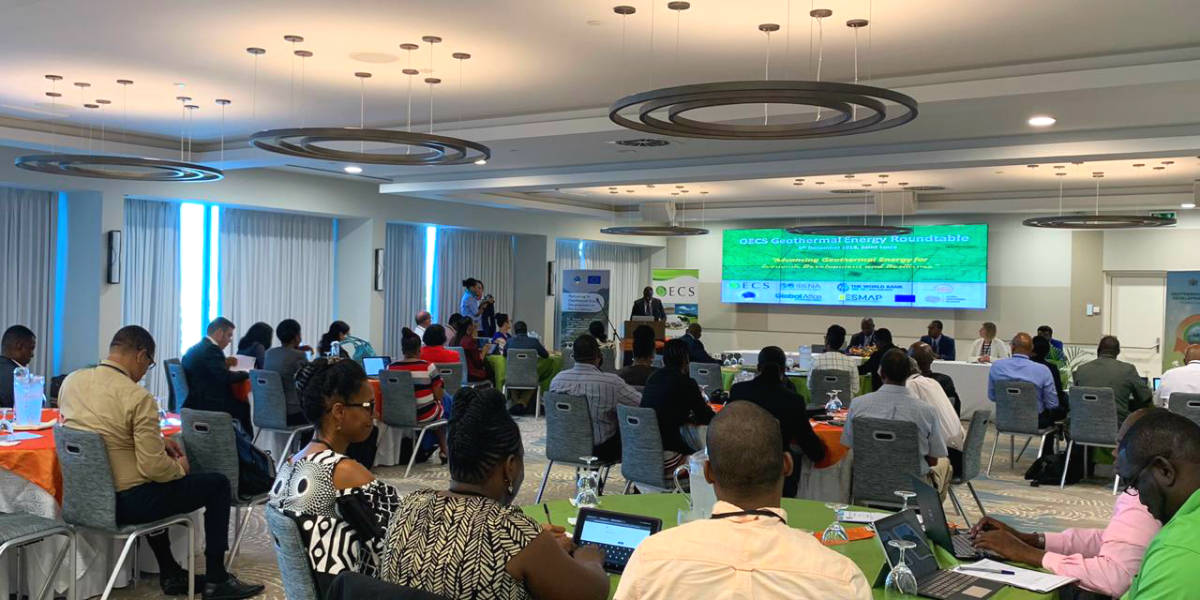
Source: OECS
Training and piloting took place in three locations: in Indonesia (March 2018), in St Lucia to support a cluster of Eastern Caribbean Islands (December 2018) and in Ethiopia (February 2019). More than 100 high-level and technical stakeholders were introduced to the geothermal specifications, creating a network of early adopters in the three jurisdictions and significant interest from local stakeholders, who intend to continue applying the specifications in more geothermal fields.
The pilot project will also result in the classification of selected geothermal prospects/fields according to UNFC-2009. IRENA will publish in its Global Atlas of Renewable Energy the classification reports for the selected geothermal prospects/fields, as well as temperature profile maps at depths of up to 10 km for the countries where the UNFC specifications were tested. In addition, it will provide a global subsurface thermal profile map at depths of up to 3 km. The temperature profile map data have been developed according to the protocol for estimating and mapping global geothermal energy potential.
All this information, including the map locations of UNFC classified geothermal prospects, contributes significantly to enriching the geothermal component of the Global Atlas. The key lessons learnt during the training and piloting phase are due to be published shortly and presented in a paper at the World Geothermal Congress 2020.

A Protocol for Estimating and Mapping Global EGS Potential
Geothermal energy practitioners have developed a protocol to estimate and map the theoretical and technical potential of enhanced (engineered) geothermal systems (EGS). The protocol, endorsed by the IGA, adheres to the principles of the reporting codes, but does not assess the commercial viability of EGS projects.
The protocol’s main steps are:
a) Modelling subsurface temperature down to 10 000 m.
b) Estimating theoretical EGS power potential down to 10 000 m.
c) Estimating EGS power potential taking into consideration the existing limitations.
d) Defining the level of confidence of the technical potential at each locale.
e) Presenting the results using a common visual and data architecture.
The overall objective is to provide a consistent set of procedures and assumptions for estimating the EGS potential at various geographical locations, whose results can be compared on an equal basis.

Geothermal Exploration Best Practice Guide
The IGA, in collaboration with the World Bank’s ESMAP, has developed a best practice guide for geothermal developers. The guide presents the most appropriate tools and techniques to locate geothermal resources, estimate their size and predict their productivity characteristics according to the geological setting of the geothermal system.